


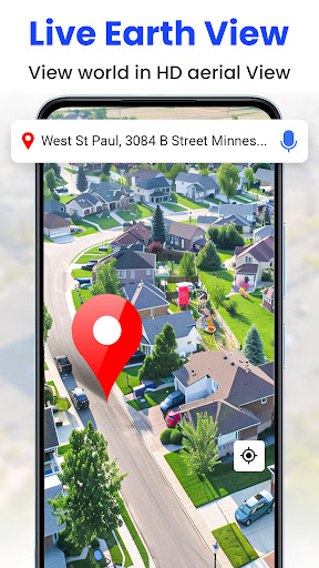


GPS Satellite Live Earth Map is a comprehensive mapping application that offers users an immersive 3D experience of the world. With high-resolution satellite imagery and real-time navigation tools, this app allows you to explore landmarks, cities, and remote locations with ease. Whether you're planning a road trip or exploring urban landscapes, the app's advanced GPS features provide accurate directions and live traffic updates.
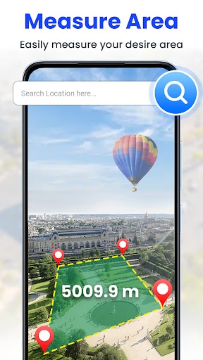
The app stands out with its live earth map HD feature, offering up-to-date terrain and city maps. It also includes a speedometer, compass, and area measurement tool for enhanced exploration. The intuitive interface ensures seamless travel, while voice navigation and route planning capabilities help you stay on track. This makes it an invaluable tool for travelers, commuters, and geography enthusiasts alike.
With its cutting-edge technology, GPS Satellite Live Earth Map transforms how we interact with our surroundings. By providing detailed aerial views and ground-level perspectives, it empowers users to discover new places and optimize their journeys efficiently.
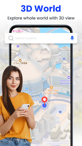
GPS Satellite Live Earth Map boasts an array of sophisticated features designed to enhance your mapping experience. One standout capability is the 360-degree satellite coverage, which provides a global view with stunning clarity. This feature allows users to zoom in on specific areas and access multiple layers of information, making it ideal for both casual browsing and detailed analysis.
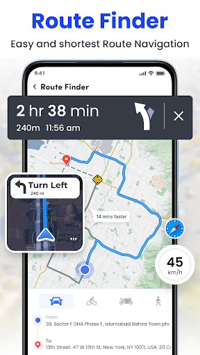
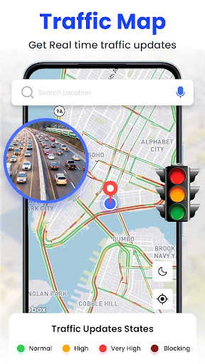
In addition to its visual prowess, the app offers practical tools such as turn-by-turn GPS navigation and live traffic alerts. These functionalities ensure smooth travels by keeping you informed about road conditions and suggesting optimal routes. The inclusion of a speedometer displaying maximum and average speeds adds another layer of utility, especially for drivers who need to monitor their progress.
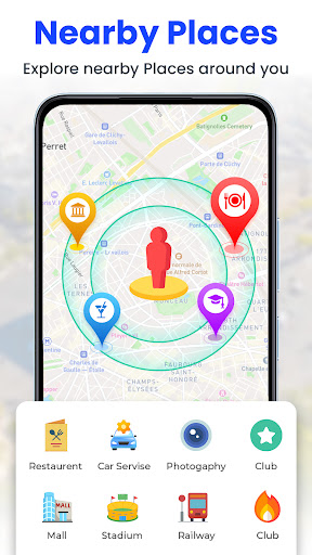
Another remarkable aspect is the street-level perspective provided by the GPS street map feature. Users can explore neighborhoods, famous landmarks, and local attractions from a pedestrian's point of view. Combined with real-time updates and interactive zoom options, these features create a dynamic platform for discovering the world around us.
User-friendly interface
High-resolution imagery
Real-time navigation
Comprehensive feature set
Accurate GPS positioning
Occasional lag in updates
Heavy battery consumption
Limited offline functionality
Subscription fees for premium features
Large storage requirements

The fastest and most convenient way to pay for parking on our lots.
 4.40
4.40
Route schedules, maps, and real-time tracking of MTA buses in New York City.
4.20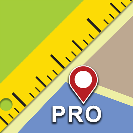
Find shortest way and save energy . Distance and area calculator.
4.70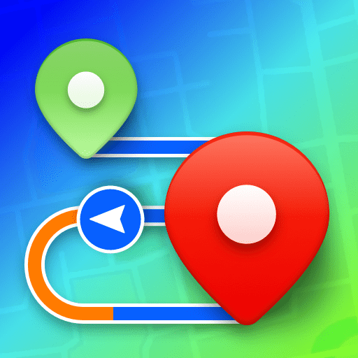
Plan routes, share locations, and set custom alert zones
4.40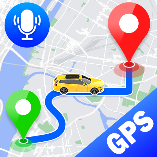
Voice GPS with driving directions, offline maps navigation GPS for safe travel
4.50
Affordable rides and food delivery with incredible discounts in just one app.
4.50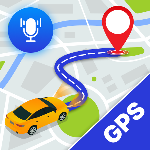
Navigate via GPS Maps of GPS Voice Navigation, driving directions to find routes
3.60
Find routes fast with GPS Maps, GPS Navigation & driving directions.
4.10
Bolt is a ride-hailing app for requesting fast, safe, and affordable transport
4.80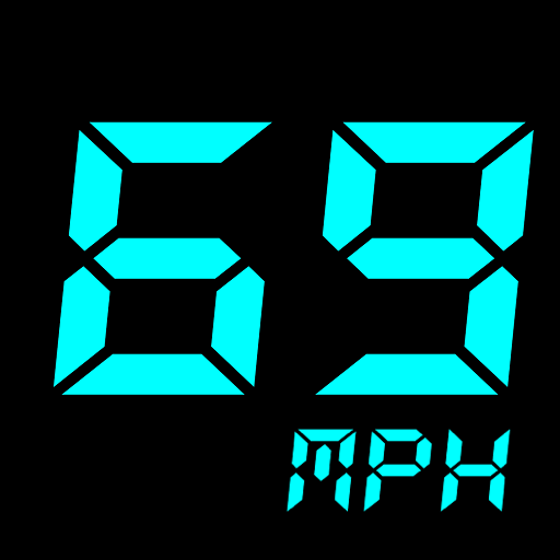
GPS Speedometer & Odometer: Track car, bike, truck speed & distance in real-time
4.70
Navigate with your watch and keep the phone in your pocket!
4.60
Explore with GPS Navigation with GPS offline, voice GPS, speed camera radar
4.60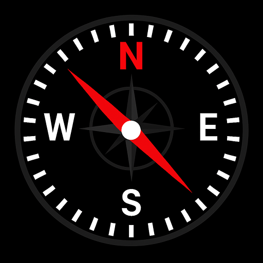
Simple & easy to use a compass app. Get accurate directions.
4.20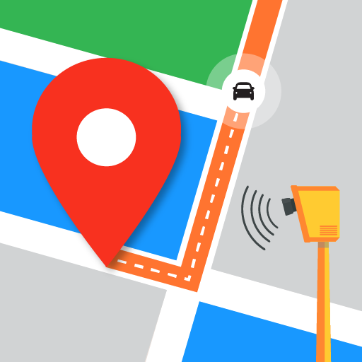
Find radar, speed camera, flight tracker. Use hud, location tracker, speedometer
4.20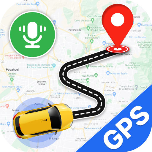
Use GPS Maps and GPS Voice Navigation to find your way and get directions
4.10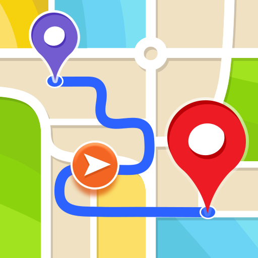
Get route, find shortest path, near by places and weather update
3.90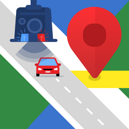
Explore offline maps with radar, satellite view, and real-time alerts.
3.60
Ride CTA, Metra & Pace: Manage your fares, buy Metra tickets, get arrivals.
3.00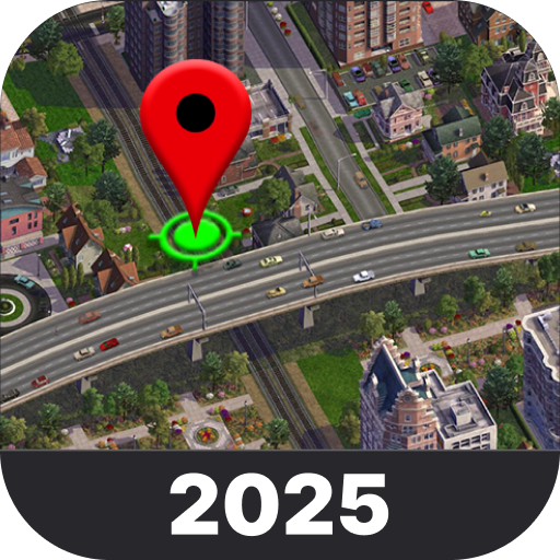
Explore the world with Live Satellite View, 3D Maps, GPS Navigation & Earth Map.
2.90

User Reveiws