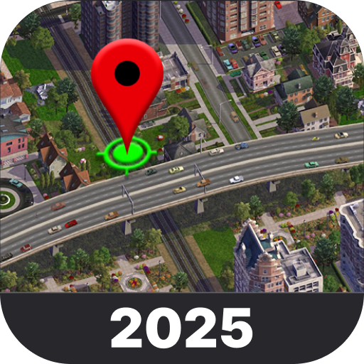


Live Earth Map: Satellite View is a comprehensive mapping application that allows users to explore the world through real-time satellite imagery and GPS navigation. The app provides an immersive experience with features like live traffic updates, voice navigation, and environmental tools.
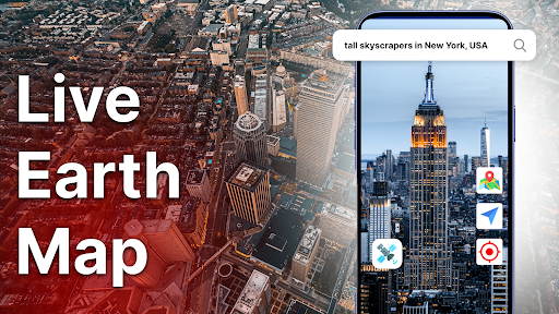
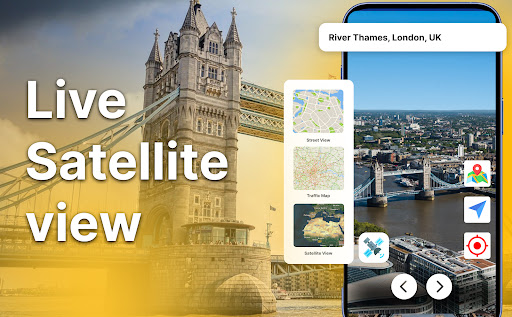
One of the standout capabilities is its live satellite view, which lets users zoom into any region on Earth and see it from a new perspective. Whether you're planning a journey or simply satisfying your curiosity, this app offers detailed earth maps and powerful exploration tools right at your fingertips.
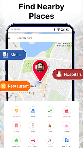
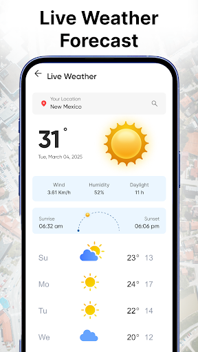
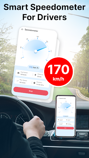
The app's value lies in its ability to combine multiple functionalities into one platform. From tracking your current speed with a built-in speedometer to getting live weather updates for any location, Live Earth Map: Satellite View is designed to make navigation and exploration smarter and more intuitive.
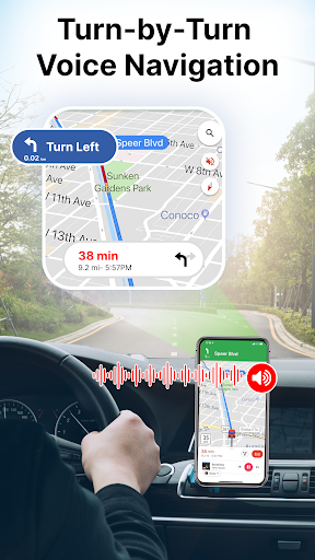
Live Earth Map: Satellite View boasts an impressive array of features that cater to both casual explorers and serious navigators. One key feature is the smart GPS navigation system, which helps users find the best paths to their destinations while avoiding traffic delays.
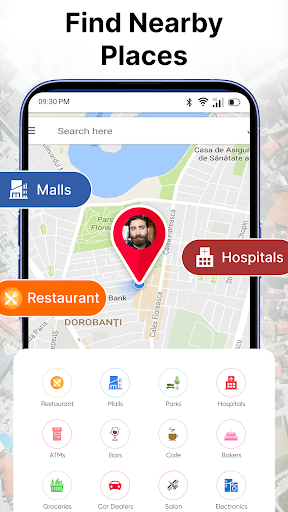
In addition to navigation, the app offers environmental and analytical tools such as oxygen level monitoring, altitude height measurement, and area calculation. These tools provide valuable insights for travelers and researchers alike. The inclusion of live cams worldwide also allows users to experience different cultures and moments as they happen.
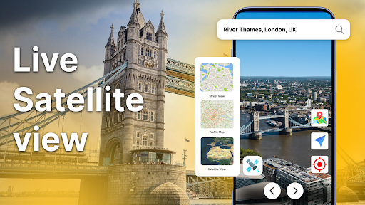
Another notable feature is the ability to switch between 2D and 3D map views, providing better exploration options. With clear satellite images and real-time updates, users can explore the world with precision and ease, making every journey more informed and enjoyable.
User-friendly interface
Real-time satellite visuals
Voice navigation support
Live traffic updates
Environmental analysis tools
Requires constant internet
High battery consumption
Limited offline functionality
Premium features locked
Occasional lag in updates

Fully offline 1:50k New Zealand topographical map North Island
 4.2
4.2
America’s largest public fast charging network, with over 500 charging stations.
4.50
NJ TRANSIT information and ticketing at your fingertips
3.70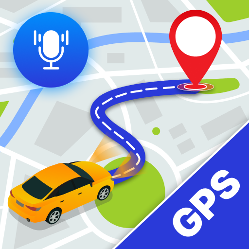
Navigate via GPS Maps of GPS Voice Navigation, driving directions to find routes
3.60
Explore with GPS Navigation with GPS offline, voice GPS, speed camera radar
4.60
Ride or drive at YOUR price
4.70
Navigate seamlessly with Real-Time Traffic, Offline Maps, and Voice Navigation.
4.10
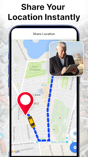
GPS phone tracker, family locator, secure location sharing app
4.20
Rideshare, taxi cabs, and more for your airport travels and everyday trips.
4.50
Route tracker, Speedometer, Odometer, Fuel, HUD mode, save route as .GPX
4.40
Find radar maps, GPS coordinates, altitude, offline maps, location, travel route
4.40
GPS navigation offers route finder, compass, translator, currency converter, etc
4.30
Get matched with a nearby driver — you’ll be on your way in minutes.
4.30
Find routes fast with GPS Maps, GPS Navigation & driving directions.
4.10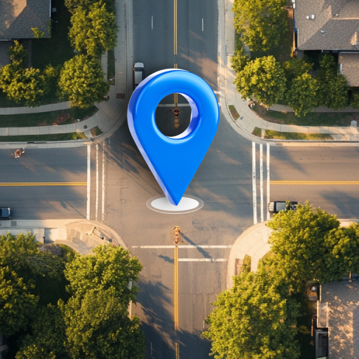
Navigation, weather, offline maps & tools for smarter, safer travel planning.
4.00
Start your next adventure confidently using our Accurate Compass App
3.70
Your guide to the recreational opportunities of the Bureau of Land Management!
3.40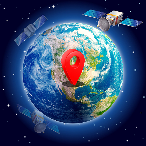
Your real-time window to the world. Explore anywhere, anytime.
3.30
Ride CTA, Metra & Pace: Manage your fares, buy Metra tickets, get arrivals.
3.00

User Reveiws