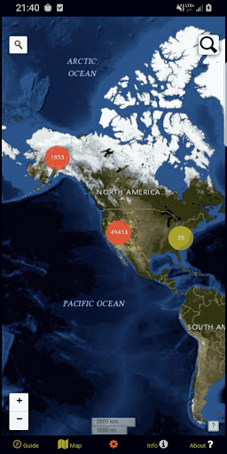


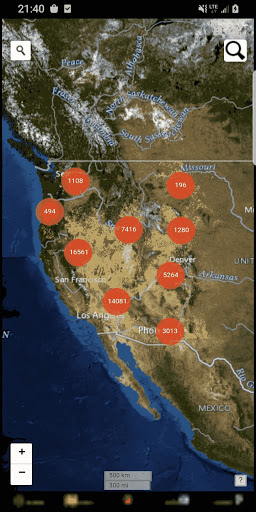


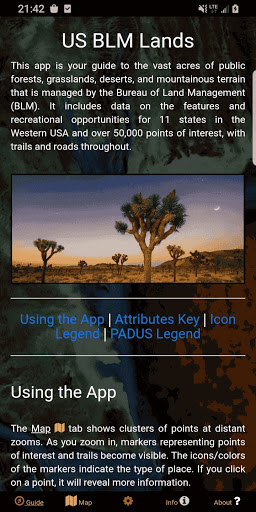

BLM Public Lands Map Guide USA is a comprehensive navigation tool designed for outdoor enthusiasts and travelers exploring the western United States. This app provides access to over 52,000 recreational points on Bureau of Land Management (BLM) properties, offering detailed information on campsites, hiking trails, boating areas, scenic vistas, and more.
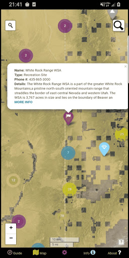
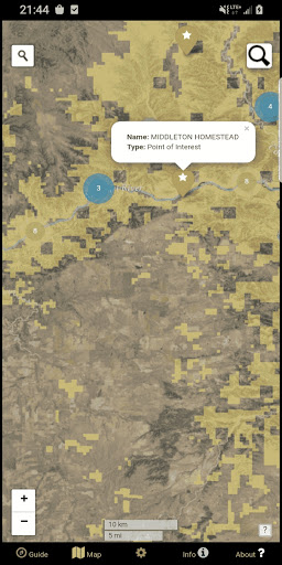
The app features an intuitive map interface with color-coded icons that categorize points of interest, making it easy to locate essential amenities like parking lots, restrooms, and access points. With offline functionality, users can download maps for use without an internet connection, ensuring reliable navigation in remote areas. Whether you're planning a road trip or seeking new adventures, this app serves as your ultimate guide to discovering the natural beauty of public lands.
One of the standout features of BLM Public Lands Map Guide USA is its robust customization options. Users can switch between four different basemaps, toggle specific point categories, and enable geolocation services for real-time tracking. The newly added My Points tool allows users to create personalized markers with unique colors and icons, which can be exported for future reference.
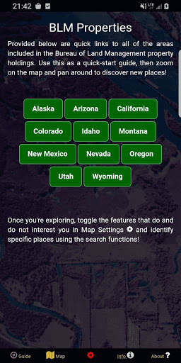
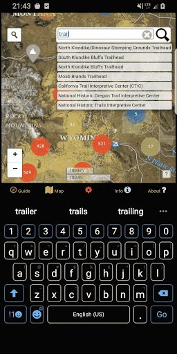
The app also includes practical tools such as address lookup and feature querying, enabling users to search for specific locations or points of interest within the database. Additionally, the Info screen provides quick links to various BLM properties, while the About section highlights open-source resources used in development. These thoughtful features ensure a seamless and informative experience for anyone navigating America's public lands.
User-friendly interface
Extensive point database
Offline map support
Customizable My Points tool
Real-time geolocation
Limited to Western US
No live updates
Occasional lag
Some outdated data
Requires storage space

The fastest and most convenient way to pay for parking on our lots.
 4.40
4.40
Find shortest way and save energy . Distance and area calculator.
4.70
Find EV & Tesla charging stations with PlugShare
4.70
America’s largest public fast charging network, with over 500 charging stations.
4.50
Number locator, real connection map
4.10
Explore Live Earth Map with 3D World Map & locate cites, mountains real time.
3.80
MapQuest is your go-to app for maps, GPS, voice navigation & live traffic.
3.80
Navigate seamlessly with Real-Time Traffic, Offline Maps, and Voice Navigation.
4.10
Rideshare, taxi cabs, and more for your airport travels and everyday trips.
4.50
Find trails, organize your locations and navigate with offline maps.
4.60
Voice GPS with driving directions, offline maps navigation GPS for safe travel
4.50
Neshan: map & navigation app with 20M+ monthly active users
4.50
Instant diesel discounts - save big with each fill up!
4.40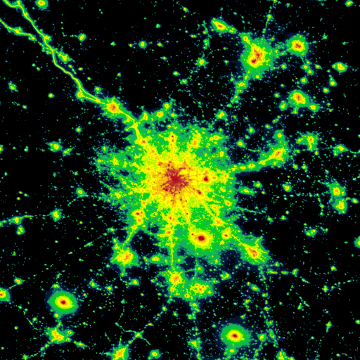
Explore a light pollution map to find suitable dark sky locations for observing.
4.30
Route schedules, maps, and real-time tracking of MTA buses in New York City.
4.20
Phone Tracker and GPS Location Sharing
4.20
NJ TRANSIT information and ticketing at your fingertips
3.70
Offline maps for phone and smart watch: topographic maps, satellite images...
3.30
Your real-time window to the world. Explore anywhere, anytime.
3.30


User Reveiws