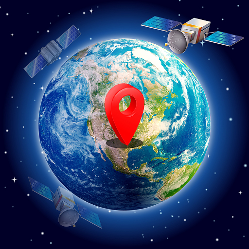


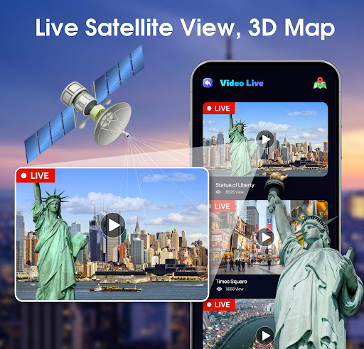
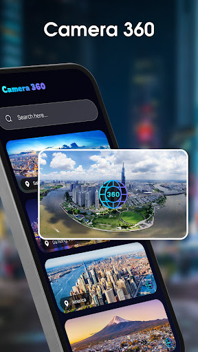


Live Satellite View, 3D Map is a comprehensive mapping and exploration app that allows users to virtually travel the world. With access to live CCTV cameras from major cities worldwide, users can observe real-time street views, making it perfect for travelers and urban explorers. The app also offers stunning 360-degree camera angles, letting you immerse yourself in locations as if you were physically present.
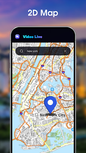
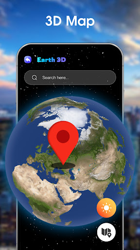
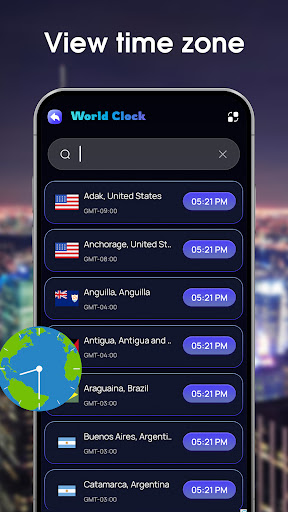
In addition to its live features, the app provides an interactive 3D Earth map, complete with detailed terrains and landscapes. For those who prefer traditional navigation, a classic 2D map option is available. Users can also track global air quality and use the built-in world clock to stay updated on time zones, making this app an essential tool for both casual browsing and practical planning.
One of the standout features of Live Satellite View, 3D Map is its access to thousands of live public street cameras. This functionality allows users to view real-time footage from cities like New York, London, and Seoul, offering valuable insights into traffic patterns and weather conditions. The integration of 360-degree cameras takes this experience further, providing panoramic views that let users explore locations from every angle.
The app's dual-map system is another key feature. Users can switch between a visually striking 3D Earth map, which highlights natural terrains and cityscapes, and a more conventional 2D map for straightforward navigation. Additionally, the inclusion of a global Air Quality Index (AQI) tracker and a world clock ensures that users have access to important environmental data and time zone information, enhancing both travel planning and general knowledge.
User-friendly interface
Real-time camera access
Interactive 3D maps
Global AQI tracking
World clock functionality
Limited offline capabilities
Some features may require strong internet
Occasional camera downtime
Premium features come at a cost
Interface can be overwhelming for new users

Start your next adventure confidently using our Accurate Compass App
 3.70
3.70
Your guide to the recreational opportunities of the Bureau of Land Management!
3.40
Turn your tablet or Android powered unit into a full blow Android Auto headunit.
2.30
Airport parking, with airport shuttle (TPS shuttle), reservations, and Spot Club
4.80
Voice GPS with driving directions, offline maps navigation GPS for safe travel
4.50
Get directions, Maps, GPS navigation & GPS Maps using GPS App
4.10
Affordable rides and food delivery with incredible discounts in just one app.
4.50
Explore with GPS Navigation with GPS offline, voice GPS, speed camera radar
4.60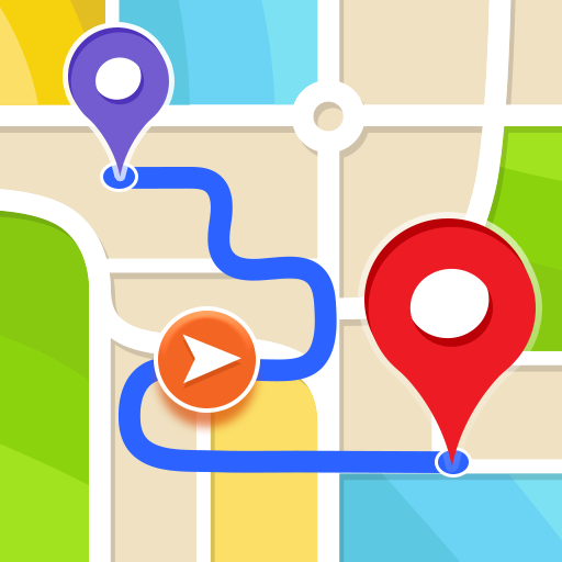
Get route, find shortest path, near by places and weather update
3.90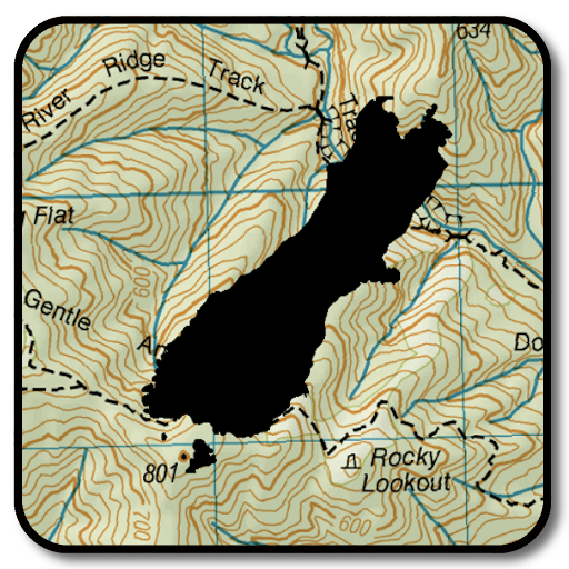
Complete offline 1:50k South Island topo map including DOC Hunting Permit Areas
4.60
America’s largest public fast charging network, with over 500 charging stations.
4.50
The fastest and most convenient way to pay for parking on our lots.
4.40
Use GPS maps or search by property owner, address or parcel to view parcel data
4.30
ParkWhiz, an Arrive Mobility brand, part of the Arrive Network
4.30
GPS phone tracker, family locator, secure location sharing app
4.20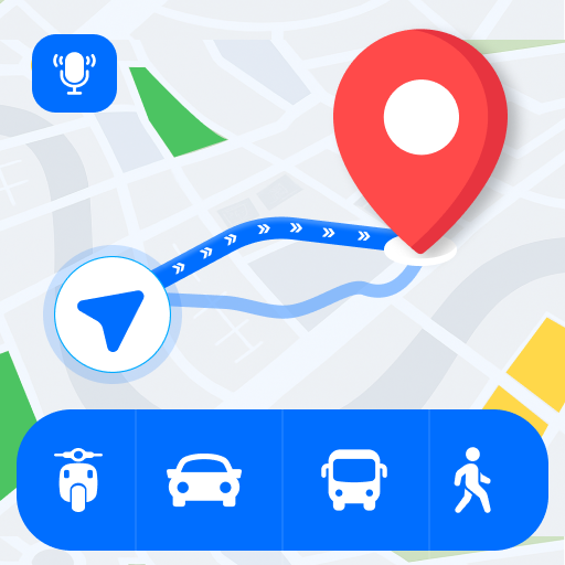
Route Planner is travel map to get turn by turn navigation & driving directions
3.90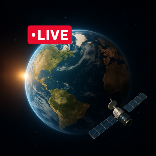
Explore Earth with live GPS, satellite view & street navigation
3.60
Find 93 Octane Gas: Locate Gasoline Stations Selling Premium 93 Octane or Higher
4.0
Fully offline 1:50k New Zealand topographical map North Island
4.4

User Reveiws