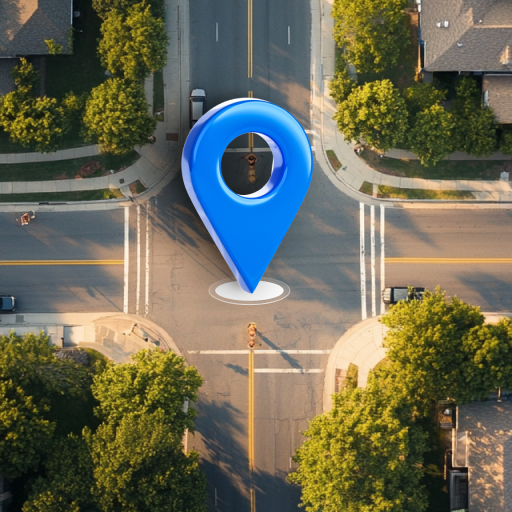


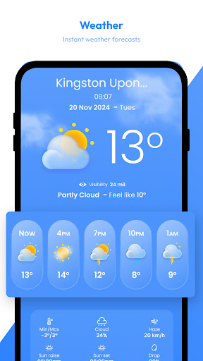


Satellite View is a comprehensive travel companion app that combines navigation and weather tools into one platform. With its satellite imagery, users can explore landscapes and urban areas from a bird's-eye view, making it easier to identify landmarks and understand surroundings. The app also offers real-time weather tracking through an advanced radar module, ensuring travelers are prepared for any weather conditions they may encounter.
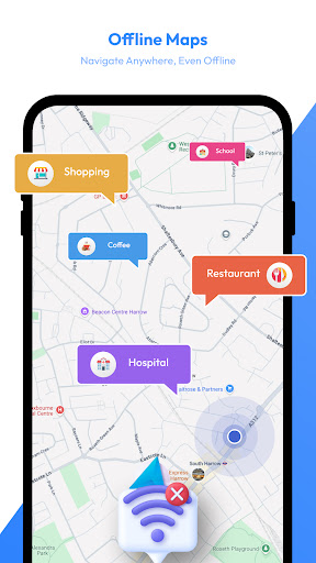
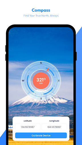
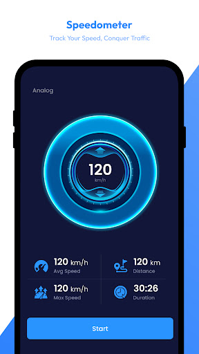
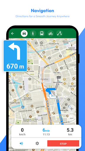
In addition to its satellite and radar features, Satellite View provides offline maps for navigation in areas without internet access. This ensures users can always find their way, even in remote locations. The AI Travel Assistant feature helps plan trips by suggesting destinations and organizing routes, while the speedometer and compass add extra layers of safety and awareness during journeys. Whether you're hiking, biking, or driving, Satellite View is designed to enhance your travel experience.
Satellite View stands out with its diverse set of features tailored for travelers. The satellite imagery allows users to explore the world from above, providing detailed views of landscapes and urban areas. This feature is particularly useful for identifying landmarks and understanding geographical layouts before embarking on a trip.
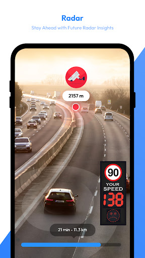
The app's radar module tracks real-time precipitation, storms, and weather patterns, giving users the confidence to plan their travels safely. Offline maps ensure that navigation is possible even without an internet connection, which is crucial for exploring remote areas. Additionally, the AI Travel Assistant offers personalized recommendations and organizes routes, making trip planning smarter and more efficient. With saved locations, a speedometer, and a compass, Satellite View provides all the tools necessary for a safe and informed journey.
User-friendly interface
Comprehensive travel tools
Real-time weather updates
Offline map functionality
AI-powered travel assistant
Occasional loading delays
Limited offline content
Subscription fees apply
High data usage
Complex settings

Explore a light pollution map to find suitable dark sky locations for observing.
 4.30
4.30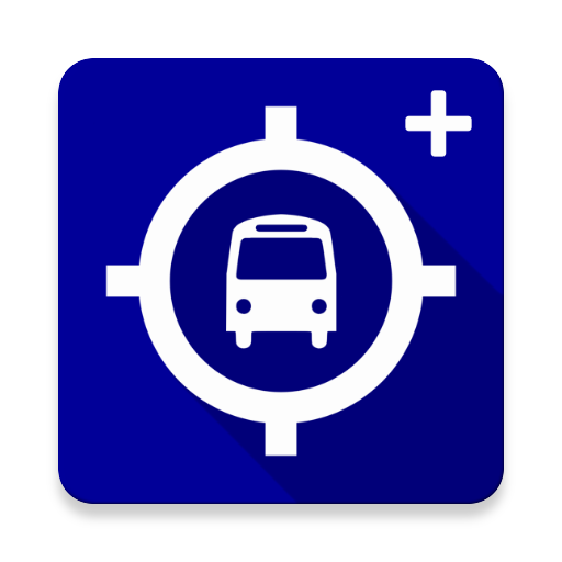
Route schedules, maps, and real-time tracking of MTA buses in New York City.
4.20
TACNAV-X: Precision MGRS navigation, built specifically for the military.
4.00
"Balad" is a map and navigator with a Persian voice assistant and a complete city guide
4.40
Gas Station & Fuel Rewards Points
3.70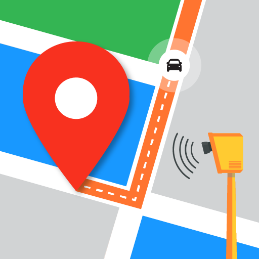
Find radar, speed camera, flight tracker. Use hud, location tracker, speedometer
4.20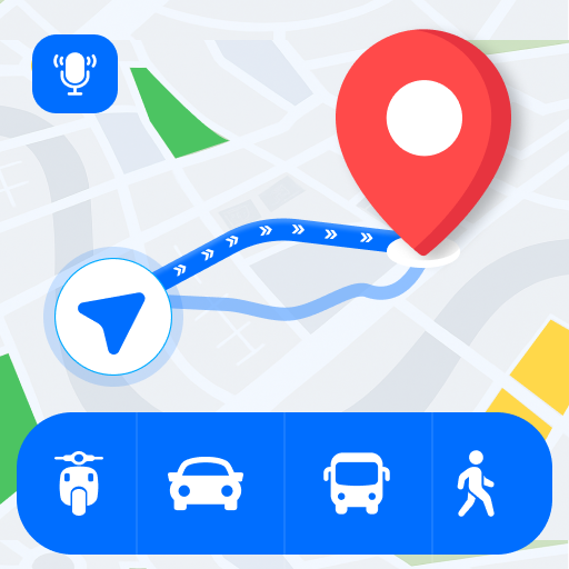
Route Planner is travel map to get turn by turn navigation & driving directions
3.90
Track friends in real-time and explore worldwide live cameras.
4.60
Get there with the Waymo Driver — The World’s Most Experienced Driver™
4.90
Find EV & Tesla charging stations with PlugShare
4.70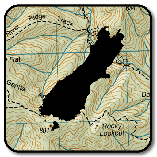
Complete offline 1:50k South Island topo map including DOC Hunting Permit Areas
4.60
Parcel map, property lines, owner, acres, land use, zoning and more from Regrid.
4.60
Explore with GPS Navigation with GPS offline, voice GPS, speed camera radar
4.60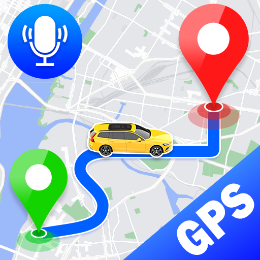
Voice GPS with driving directions, offline maps navigation GPS for safe travel
4.50
Track accurate speed & distance with GPS Speedometer. Check speed limit & time.
4.50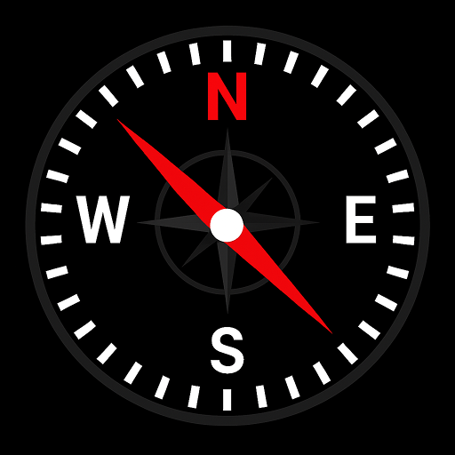
Simple & easy to use a compass app. Get accurate directions.
4.20
Avoid delays. Get real-time GPS navigation, safety alerts and live traffic.
4.10
MapQuest is your go-to app for maps, GPS, voice navigation & live traffic.
3.80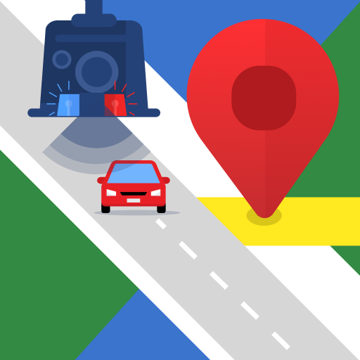
Explore offline maps with radar, satellite view, and real-time alerts.
3.60

User Reveiws