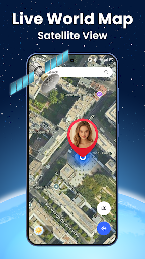
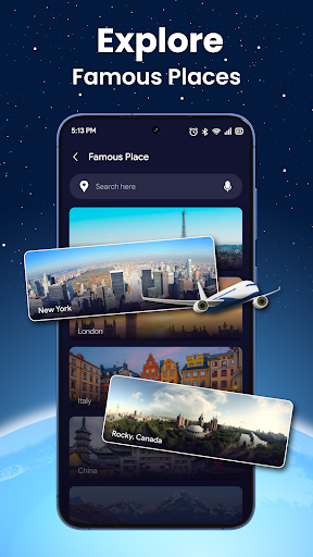

Live World Map: Satellite View is a comprehensive navigation and exploration app that combines real-time 3D Earth navigation with GPS location tracking. The app allows users to explore realistic terrain, city maps, and live satellite imagery of any place on Earth. With features like street view, 360-degree panorama camera, and smart search for landmarks, it serves as an all-in-one tool for virtual travel, trip planning, and geographical learning.
The app's advanced GPS navigation system provides turn-by-turn directions and precise movement tracking, making it ideal for travelers and geography enthusiasts. Whether you're monitoring remote locations, conducting virtual tours, or preparing for real-world trips, Live World Map offers a seamless experience through its clean interface and intuitive tools.
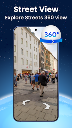
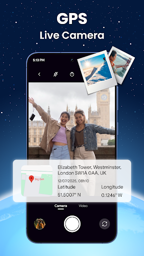
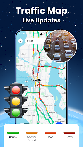
Live World Map stands out with its diverse set of features designed for both casual exploration and practical navigation. The app provides high-resolution satellite imagery, updated in real-time, allowing users to monitor current conditions across the globe. Its 360-degree street view feature lets users immerse themselves in realistic virtual tours of neighborhoods and tourist spots.
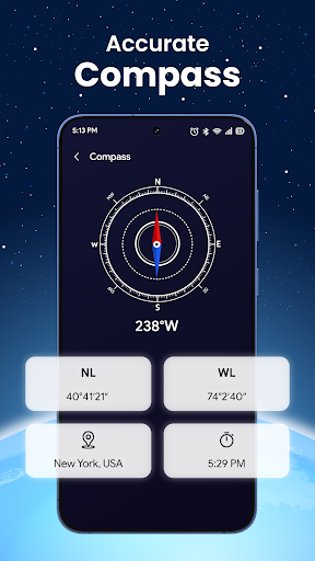
Additional functionalities include a built-in GPS locator for accurate route finding, a smart search tool for quickly locating points of interest, and bonus tools like a speedometer, altitude display, and real-time location sharing. These features are presented through a modern, clutter-free interface that ensures quick access to essential tools while maintaining ease of use.
User-friendly interface
Real-time satellite updates
Accurate GPS navigation
Comprehensive map overlays
Immersive street view
High data usage
Limited offline functionality
Occasional loading delays
Premium features locked
Complex for beginners
Route schedules, maps, and real-time tracking of MTA buses in New York City.
 4.20
4.20
Fully offline 1:50k New Zealand topographical map North Island
4.4
America’s largest public fast charging network, with over 500 charging stations.
4.50
Use GPS maps or search by property owner, address or parcel to view parcel data
4.30
Phone Tracker and GPS Location Sharing
4.20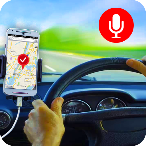
Maps, Driving Directions & GPS navigation using directions app & GPS App
4.30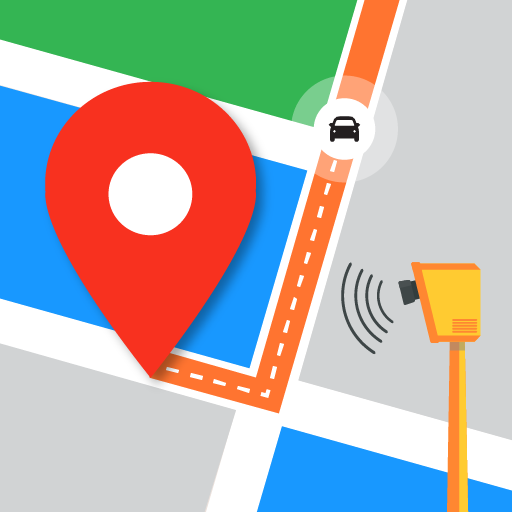
Find radar, speed camera, flight tracker. Use hud, location tracker, speedometer
4.20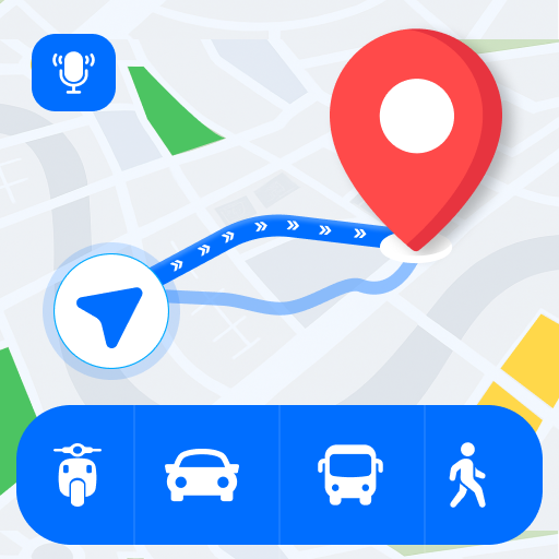
Route Planner is travel map to get turn by turn navigation & driving directions
3.90
GPS phone tracker, family locator, secure location sharing app
4.20
This app is military GPS coordinate systems helper. (MGRS, UTM & DMS Maps)
4.80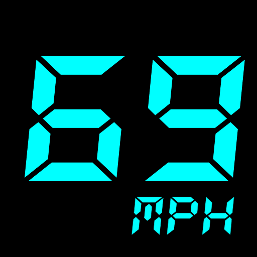
GPS Speedometer & Odometer: Track car, bike, truck speed & distance in real-time
4.70
Ride or drive at YOUR price
4.70
Park in Chicago, NYC, Boston, SF, Houston & more!
4.70
Rideshare, taxi cabs, and more for your airport travels and everyday trips.
4.50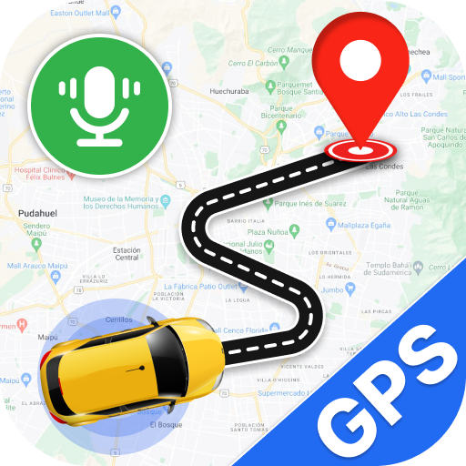
Use GPS Maps and GPS Voice Navigation to find your way and get directions
4.10
MapQuest is your go-to app for maps, GPS, voice navigation & live traffic.
3.80
Discover over 800 points of interest along the canal.
3.70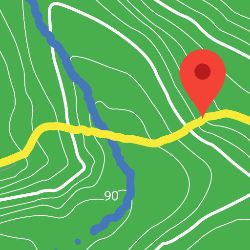
Play in the outdoors with Android as your Handheld GPS and offline topo maps!
3.50
Off-Roading Navigation App With Trails, Public Lands, & Private Property Info
3.30

User Reveiws