


Mgrs & Utm Map Pro is a comprehensive GPS and coordinate systems helper designed primarily for military personnel, but equally beneficial for outdoor enthusiasts. The app provides advanced navigation features through multiple map layers including Bicycle, Topographic, and Atlas maps.
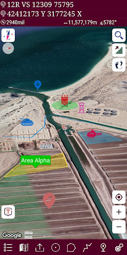
With support for various satellite navigation systems like GPS, GALILEO, and GLONASS, the application ensures precise positioning. Key functionalities include an easy-to-use compass, follow mode for dynamic location tracking, distance and area measurement tools, and diverse coordinate format options such as MGRS, UTM, and Latitude/Longitude.
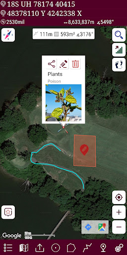
This versatile tool is invaluable for activities like mountaineering, trekking, hunting, and geocaching, offering users the ability to create custom routes, calculate altitudes, and manage markers efficiently.
The app boasts an array of sophisticated features tailored for both professional and recreational use. Its pro version unlocks additional map types and advanced functionalities, enhancing the overall user experience significantly.
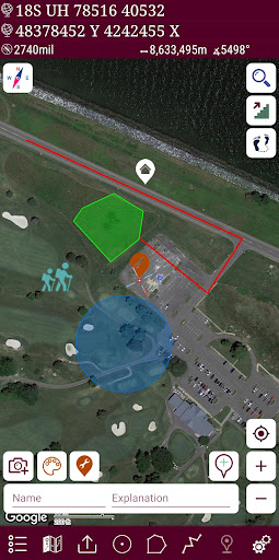
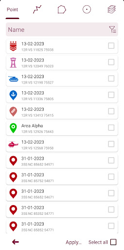
Users can view altitude profiles of their routes, search locations by address, and create distinct layers for different activities. The app supports multiple route recording with GPS, colorful pointer icons, and flexible display options for markers. Practical tools include distance and area measurement, diverse coordinate systems, and KML layer management.
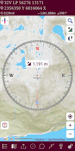
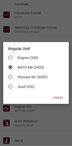
Additional highlights are the angular unit options for the compass (degrees, grad, and mil), map-follow modes, and various map type selections like Terrain and Hybrid views. These robust features collectively ensure accurate navigation and efficient spatial data handling.
Accurate GPS
Multiple map layers
Advanced compass
Custom routes
No ads
Complex interface
High cost
Limited offline use
Frequent updates
Heavy on battery
Start your next adventure confidently using our Accurate Compass App
 3.70
3.70
Route tracker, Speedometer, Odometer, Fuel, HUD mode, save route as .GPX
4.40
Airport parking, with airport shuttle (TPS shuttle), reservations, and Spot Club
4.80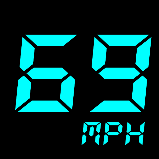
GPS Speedometer & Odometer: Track car, bike, truck speed & distance in real-time
4.70
Get route map navigation with 3D satellite view, and live earth camera streaming
3.70
GPS Navigation: Get map directions and find the shortest routes to avoid delays!
4.00
Truck Safe GPS Navigation & Maps: Parking, Fuel, Diesel, Weight Station
4.80
Route Planner is travel map to get turn by turn navigation & driving directions
3.90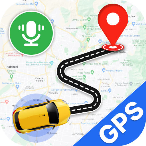
Use GPS Maps and GPS Voice Navigation to find your way and get directions
4.10
Offline maps & GPS for hiking, travel, fieldwork & outdoor adventures
4.70
Find EV & Tesla charging stations with PlugShare
4.70
GPX Viewer PRO shows tracks, routes and waypoints from gpx and kml files.
4.60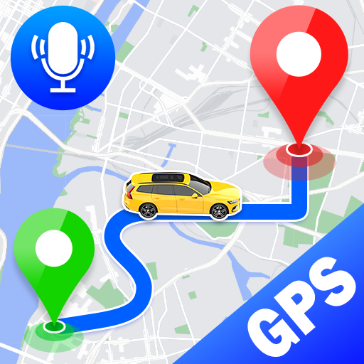
Voice GPS with driving directions, offline maps navigation GPS for safe travel
4.50
Affordable rides and food delivery with incredible discounts in just one app.
4.50
GPS phone tracker, family locator, secure location sharing app
4.20
TACNAV-X: Precision MGRS navigation, built specifically for the military.
4.00
OpenCPN is a full featured ChartPlotter and Navigator for Android.
3.60
Explore offline maps with radar, satellite view, and real-time alerts.
3.60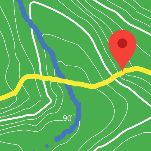
Play in the outdoors with Android as your Handheld GPS and offline topo maps!
3.50

User Reveiws