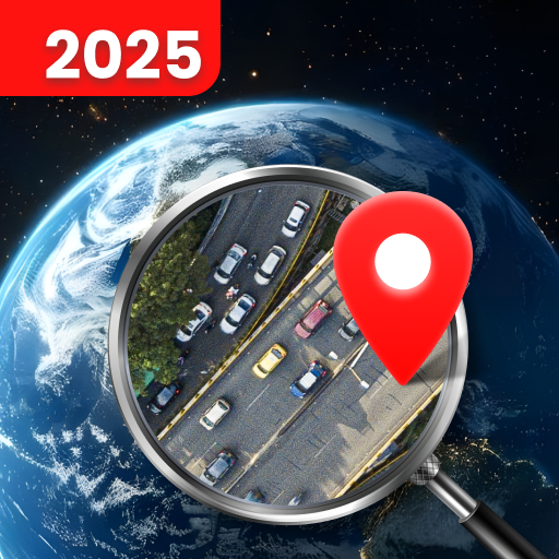


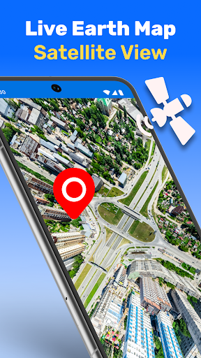


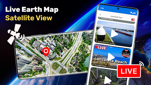


Live Earth Map Satellite View is a cutting-edge application that allows users to explore the world through real-time satellite imagery. This app provides stunning high-definition visuals of any location on Earth, making it an ideal tool for travelers, adventurers, and geography enthusiasts.
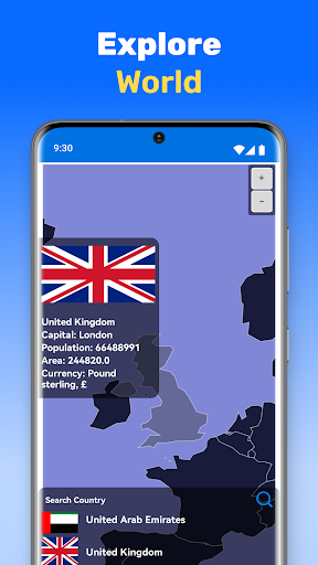
The app's core features include real-time live earth view, detailed satellite maps, street view, and 3D landmarks. Users can zoom in to see precise details of bustling cities or remote islands. The real-time route finder and GPS navigation ensure efficient travel planning. With its user-friendly interface, this app makes global exploration accessible to everyone.
Whether you're planning your next vacation or simply curious about the world, Live Earth Map Satellite View brings the planet's beauty to your fingertips. It's particularly useful for those who want to explore distant locations without leaving their homes.
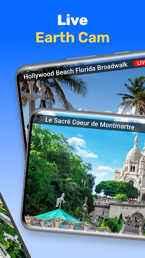
Live Earth Map Satellite View stands out with its comprehensive feature set designed for immersive exploration. The app offers real-time satellite imagery that brings every corner of the world to life with crystal-clear detail. Its satellite map feature provides precise views of any location, from major cities to secluded natural wonders.
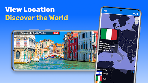
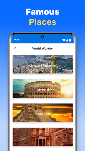
One of the app's most impressive capabilities is the street view and 3D landmark functionality. Users can take virtual tours of famous attractions like the Eiffel Tower or the Great Wall of China. The real-time route finder calculates the most efficient paths, while voice navigation helps users stay on track during their journeys.
The ability to save and share favorite locations adds another layer of utility. This feature-rich application demonstrates innovation in digital mapping technology, offering users unprecedented access to global views and navigation tools.
User-friendly interface
High-definition visuals
Real-time satellite view
Detailed street maps
Efficient route planning
Limited offline functionality
Requires strong internet
Premium features locked
Occasional loading issues
Ads in free version
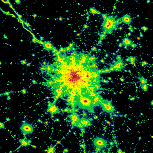
Explore a light pollution map to find suitable dark sky locations for observing.
 4.30
4.30
Find shortest way and save energy . Distance and area calculator.
4.70
Instant diesel discounts - save big with each fill up!
4.40
Use GPS maps or search by property owner, address or parcel to view parcel data
4.30
Affordable rides and food delivery with incredible discounts in just one app.
4.50
GPS Navigation: Get map directions and find the shortest routes to avoid delays!
4.00
ParkWhiz, an Arrive Mobility brand, part of the Arrive Network
4.30
Neshan: map & navigation app with 20M+ monthly active users
4.50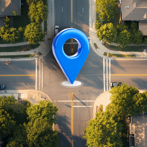
Navigation, weather, offline maps & tools for smarter, safer travel planning.
4.00
Get there with the Waymo Driver — The World’s Most Experienced Driver™
4.90
LIRR and Metro-North tickets and trips
4.80
Navigate MTA, NJ Transit, MBTA, SEPTA, BART, MARTA, CTA & 900+ cities
4.60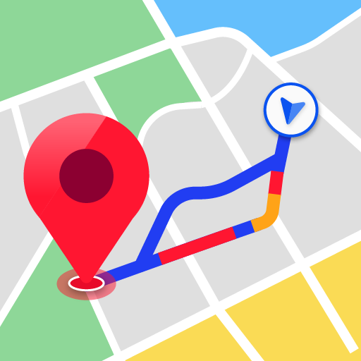
Navigate seamlessly with Real-Time Traffic, Offline Maps, and Voice Navigation.
4.10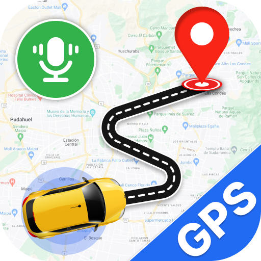
Use GPS Maps and GPS Voice Navigation to find your way and get directions
4.10
Easy, Moderate and difficult offroad adventures.
4.00
Get real-time bus and train schedules for easy, hassle-free city transportation.
3.90
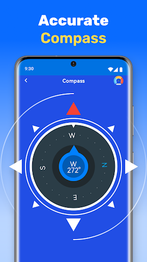
Start your next adventure confidently using our Accurate Compass App
3.70
Fully offline 1:50k New Zealand topographical map North Island
4.1
All of NHSA's trail information at your fingertips for the 2025-2026 season
4.4

User Reveiws