
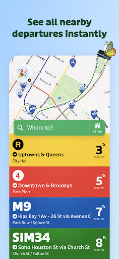


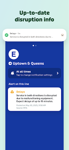
Transit • Subway & Bus Times is a comprehensive urban travel application designed to provide real-time transit information. The app offers accurate next departure times, live tracking of buses and trains, and detailed transit schedules. Its powerful trip planner allows users to compare various travel options, including combinations of bus, bike, metro, and subway routes. Additionally, the app provides service alerts for disruptions and delays, ensuring users are always informed.
The application stands out with its offline functionality, enabling access to bus schedules, stop locations, and subway maps without an internet connection. Users can also pay transit fares and purchase bikeshare passes directly within the app in over 75 cities. With support for 900+ cities and 1000+ public transit agencies, Transit is an essential tool for navigating urban environments efficiently.
Transit • Subway & Bus Times boasts several key features that enhance the user experience. The app aggregates the best real-time data from transit agencies such as MTA Bus Time, CTA Bus Tracker, and WMATA Next Arrivals. This data is processed through a sophisticated ETA prediction engine, providing users with the most precise arrival times for buses, subways, trains, and even bikeshare and scooter locations.
Another standout feature is GO, the app's step-by-step navigator. GO sends departure alarms and alerts users when it's time to disembark or transfer, streamlining the travel experience. Additionally, User Reports allow passengers to share insights on crowding levels and on-time performance, fostering a community-driven approach to transit information. These innovative tools collectively ensure a seamless and informed journey for all users.
User-friendly interface
Accurate real-time data
Offline accessibility
Comprehensive city coverage
Integrated payment system
Limited rural support
Occasional data inaccuracies
Heavy on battery usage
Requires frequent updates
Premium features locked behind paywall

Fully offline 1:50k New Zealand topographical map North Island
 4.0
4.0
All of NHSA's trail information at your fingertips for the 2025-2026 season
4.4
Instant diesel discounts - save big with each fill up!
4.40
Explore Live Earth Map with 3D World Map & locate cites, mountains real time.
3.80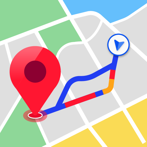
Navigate seamlessly with Real-Time Traffic, Offline Maps, and Voice Navigation.
4.10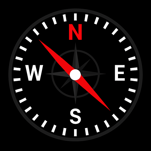
Simple & easy to use a compass app. Get accurate directions.
4.20
Lets explore the world's famous places by using Live Cams, GPS & Satellite View.
4.20
GPS phone tracker, family locator, secure location sharing app
4.20
Avoid delays. Get real-time GPS navigation, safety alerts and live traffic.
4.10
Truck Safe GPS Navigation & Maps: Parking, Fuel, Diesel, Weight Station
4.80
Ride or drive at YOUR price
4.70
Track friends in real-time and explore worldwide live cameras.
4.60
America’s largest public fast charging network, with over 500 charging stations.
4.50
ParkWhiz, an Arrive Mobility brand, part of the Arrive Network
4.30
Phone Tracker and GPS Location Sharing
4.20
Get directions, Maps, GPS navigation & GPS Maps using GPS App
4.10
Find routes fast with GPS Maps, GPS Navigation & driving directions.
4.10
Easy, Moderate and difficult offroad adventures.
4.00
Explore Earth with live GPS, satellite view & street navigation
3.60


User Reveiws