


SledNH 2026 is a premier trail navigation app tailored for snowmobilers exploring New Hampshire's extensive 7,000-mile trail network. Designed for both offline and online use, this application ensures that riders can access crucial trail information regardless of cellular coverage. With features such as GPS location tracking, points of interest, and real-time trail conditions, SledNH 2026 enhances the riding experience by providing reliable navigation and planning tools.
Whether you're a local enthusiast or a visiting adventurer, this app serves as your personal trail assistant. It allows users to save routes, view nearby amenities, and share locations with friends when connected. The app is an essential tool for anyone looking to make the most out of their snowmobiling adventures in New Hampshire during the 2025-2026 season.
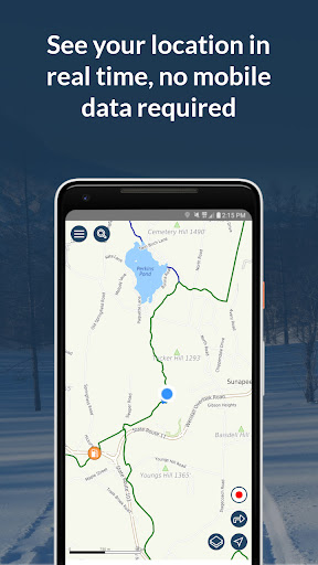
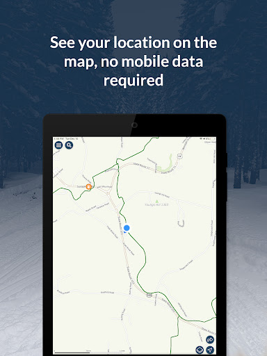
The SledNH 2026 app boasts a comprehensive set of features designed to enhance the snowmobiling experience. One of its standout capabilities is the offline functionality, which includes GPS tracking and access to trail conditions without needing an internet connection. This ensures that users can navigate confidently even in remote areas where cell service is unavailable.
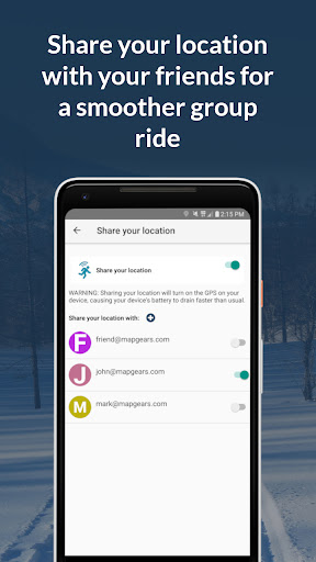
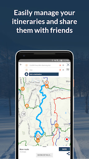
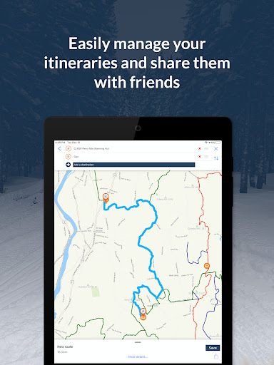
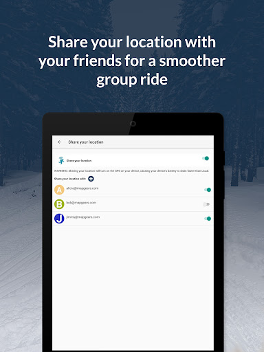
In addition to offline features, the app offers valuable online functionalities. Users can receive real-time trail updates, privately share their location with friends, and plan complete trips with ease. These features collectively ensure that snowmobilers have all the necessary tools to enjoy a safe and well-planned adventure on the trails.
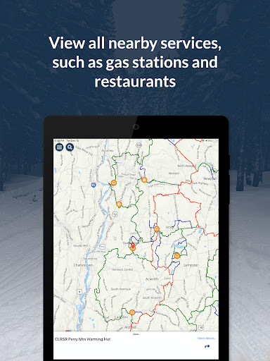
Furthermore, the app emphasizes user convenience and safety. By providing detailed maps and points of interest such as clubhouses and gas stations, it helps users make informed decisions about their routes and stops. The ability to toggle GPS and location sharing off when not needed also helps conserve battery life, making it a practical choice for extended trips.
User-friendly interface
Offline map access
Real-time trail updates
Location sharing feature
Comprehensive POI database
Seasonal subscription required
Battery consumption concern
Limited to NH trails
No voice-guided navigation
Additional in-app purchases

Turn your Android device into a real off-road GPS using off-line topo maps!
 4.40
4.40
Fully offline 1:50k New Zealand topographical map North Island
4.0
Navigate with your watch and keep the phone in your pocket!
4.60
CamSam PLUS - The speed and red light camera warning system!
4.40
Find radar maps, GPS coordinates, altitude, offline maps, location, travel route
4.40
Parcel map, property lines, owner, acres, land use, zoning and more from Regrid.
4.60
Find routes fast with GPS Maps, GPS Navigation & driving directions.
4.10
Off-Roading Navigation App With Trails, Public Lands, & Private Property Info
3.30
Get there with the Waymo Driver — The World’s Most Experienced Driver™
4.90
Bolt is a ride-hailing app for requesting fast, safe, and affordable transport
4.80
Offline maps & GPS for hiking, travel, fieldwork & outdoor adventures
4.70
Find shortest way and save energy . Distance and area calculator.
4.70
Navigate confidently with our precise Digital Compass app & Direction Compass!
4.70
Explore with GPS Navigation with GPS offline, voice GPS, speed camera radar
4.60
Track accurate speed & distance with GPS Speedometer. Check speed limit & time.
4.50
Explore a light pollution map to find suitable dark sky locations for observing.
4.30
Navigate via GPS Maps of GPS Voice Navigation, driving directions to find routes
3.60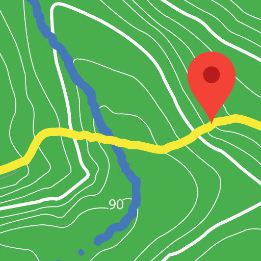
Play in the outdoors with Android as your Handheld GPS and offline topo maps!
3.50
Compass is an accurate compass and a great tool for any outdoor activities
4.5


User Reveiws