
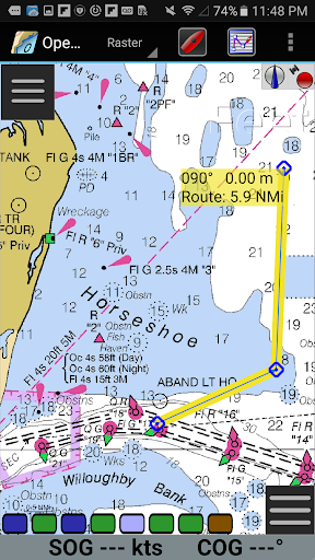
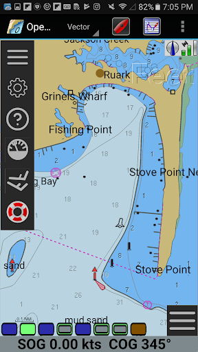
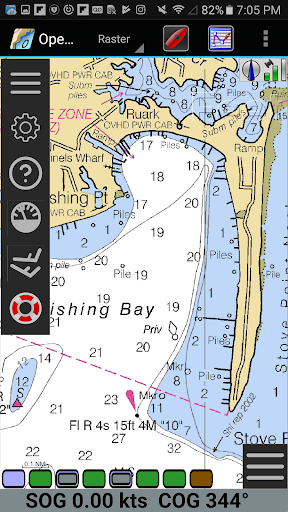
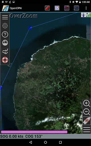
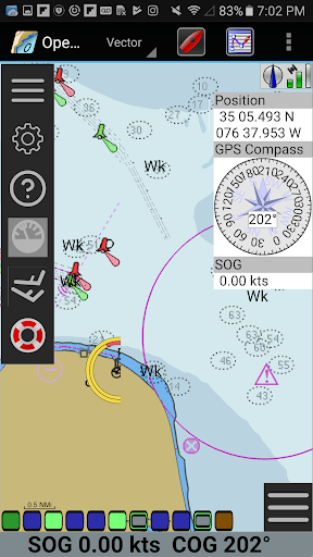
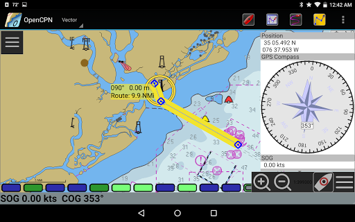
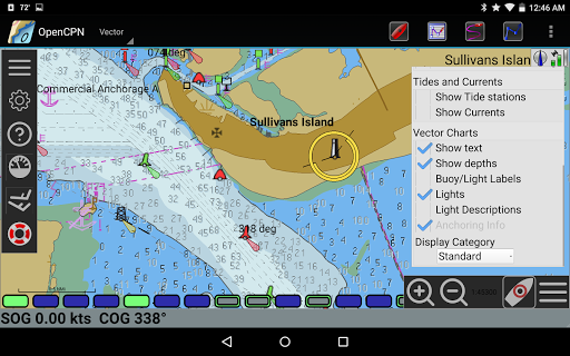
OpenCPN is a comprehensive chart plotter and navigation application designed for both desktop and mobile platforms. It offers advanced features such as BSB v3 raster chart support, S57 vector chart display, and integrated chart downloading. The app supports multiple display modes including north-up, course-up, and moving-map, providing flexible navigation options.
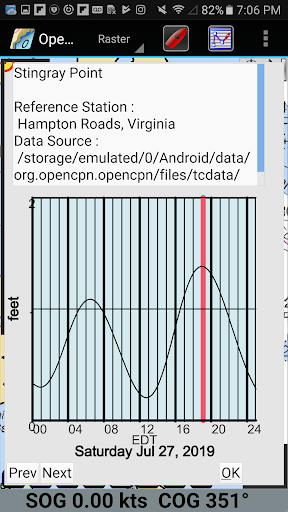
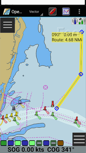
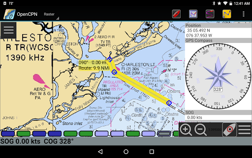
With built-in GPS support and networked AIS input, OpenCPN ensures accurate positioning and collision alerting. Additional functionalities include route planning with tidal support, GPX file handling, and Google Maps integration. These features make it an essential tool for marine enthusiasts looking to enhance their safety and performance on the water.
OpenCPN stands out with its extensive chart support, including BSB v3 raster charts, S57 vector charts, and CM93 vector charts with cell offset corrections. The app provides versatile display options such as single-chart, quilted, and various orientation modes, catering to different navigational preferences.
Advanced navigation tools like route planning with tidal support, autopilot output, and AIS target tracking ensure precise and safe voyages. Furthermore, OpenCPN's integration with Google Maps and support for GPX files allow users to annotate charts and plan routes effectively, making it a powerful companion for any marine adventure.
User-friendly interface
Comprehensive chart support
Accurate GPS positioning
Flexible display options
Active community support
Steep learning curve
Resource-intensive
Limited offline functionality
Occasional bugs
Complex setup process

Discover over 800 points of interest along the canal.
 3.70
3.70
Find trails, organize your locations and navigate with offline maps.
4.60
Play in the outdoors with Android as your Handheld GPS and offline topo maps!
3.50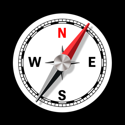
Navigate confidently with our precise Digital Compass app & Direction Compass!
4.70
NJ TRANSIT information and ticketing at your fingertips
3.70
Gas Station & Fuel Rewards Points
3.70
MapQuest is your go-to app for maps, GPS, voice navigation & live traffic.
3.80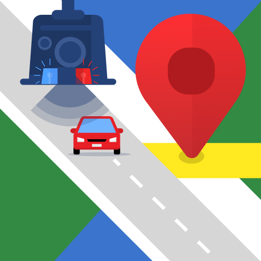
Explore offline maps with radar, satellite view, and real-time alerts.
3.60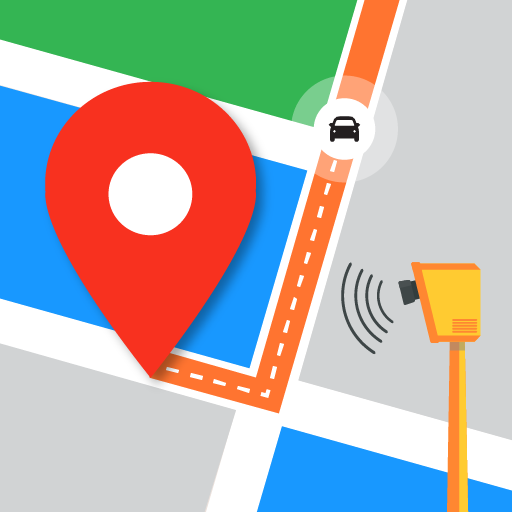
Find radar, speed camera, flight tracker. Use hud, location tracker, speedometer
4.20
Ride or drive at YOUR price
4.70
The fastest and most convenient way to pay for parking on our lots.
4.40
Get matched with a nearby driver — you’ll be on your way in minutes.
4.30
Route schedules, maps, and real-time tracking of MTA buses in New York City.
4.20
Lets explore the world's famous places by using Live Cams, GPS & Satellite View.
4.20
Find routes fast with GPS Maps, GPS Navigation & driving directions.
4.10
TACNAV-X: Precision MGRS navigation, built specifically for the military.
4.00
Get route, find shortest path, near by places and weather update
3.90
Drive safe with real-time speed camera radar, police, and traffic alerts
3.80
Explore Live Earth Map with 3D World Map & locate cites, mountains real time.
3.80

User Reveiws