


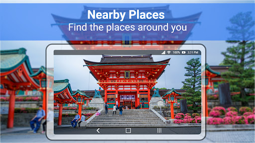


Live Earth Map is a cutting-edge 3D mapping application that provides users with real-time, immersive views of Earth's terrains. The app leverages high-resolution satellite imagery and advanced GPS tracking to deliver accurate representations of both urban and rural environments. With its precise 3D imaging capabilities, users can effortlessly explore cities, track locations, and access full 360-degree panoramas.
The application stands out through its intuitive design and comprehensive features. Users can navigate seamlessly with pinpoint GPS accuracy, while the clean and simple user interface ensures ease of use. Whether for educational purposes, travel planning, or general exploration, Live Earth Map offers an unparalleled experience of having the world at your fingertips.
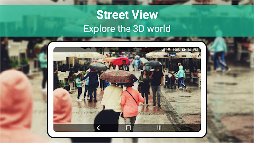
One of the standout features of Live Earth Map is its ability to provide real-time 3D city and terrain views. This functionality allows users to virtually walk through streets and explore different terrains with remarkable clarity. The app also includes live street view options, enabling users to simulate real-world navigation from the comfort of their device.
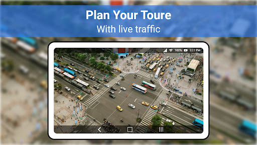
In addition to its visual capabilities, the app offers advanced GPS functionalities. Users can track locations in real time and receive accurate navigation data. The integration of live satellite data ensures global usability, making it an essential tool for travelers, researchers, and anyone interested in exploring the planet from every possible angle.
Real-time 3D views
High-resolution imagery
Accurate GPS tracking
User-friendly interface
Global usability
Requires strong internet
Heavy on storage
Premium features costly
Occasional lags
Limited offline maps

Offline maps & GPS for hiking, travel, fieldwork & outdoor adventures
 4.70
4.70
Discover over 800 points of interest along the canal.
3.70
Instant diesel discounts - save big with each fill up!
4.40
America’s largest public fast charging network, with over 500 charging stations.
4.50
Track accurate speed & distance with GPS Speedometer. Check speed limit & time.
4.50
Parcel map, property lines, owner, acres, land use, zoning and more from Regrid.
4.60
ParkWhiz, an Arrive Mobility brand, part of the Arrive Network
4.30
Gas Station & Fuel Rewards Points
3.70
Park in Chicago, NYC, Boston, SF, Houston & more!
4.70
Find EV & Tesla charging stations with PlugShare
4.70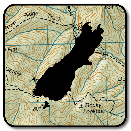
Complete offline 1:50k South Island topo map including DOC Hunting Permit Areas
4.60
Neshan: map & navigation app with 20M+ monthly active users
4.50
Easy, Moderate and difficult offroad adventures.
4.00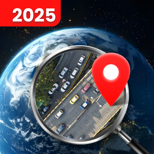
Explore Live Earth Map with 3D World Map & locate cites, mountains real time.
3.80
NJ TRANSIT information and ticketing at your fingertips
3.70
Play in the outdoors with Android as your Handheld GPS and offline topo maps!
3.50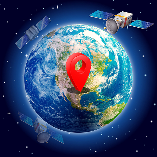
Your real-time window to the world. Explore anywhere, anytime.
3.30
Ride CTA, Metra & Pace: Manage your fares, buy Metra tickets, get arrivals.
3.00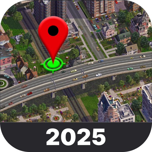
Explore the world with Live Satellite View, 3D Maps, GPS Navigation & Earth Map.
2.90

User Reveiws