
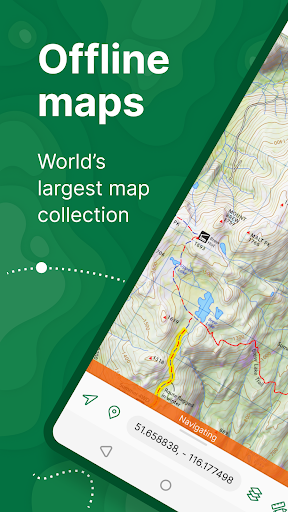
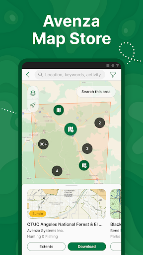
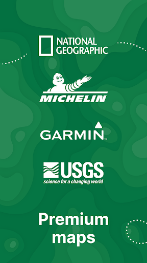
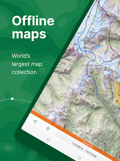

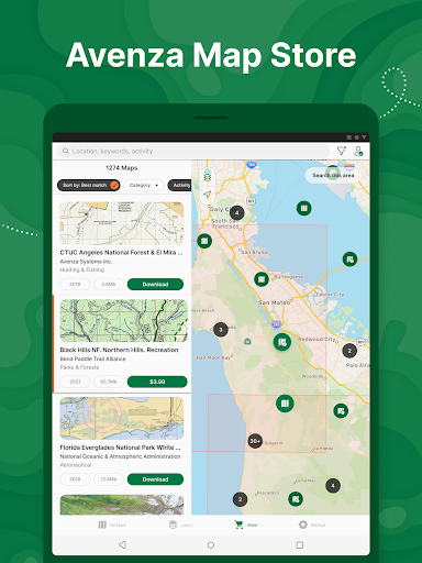

Avenza Maps is a premier offline mapping application designed for outdoor enthusiasts and professionals alike. This app provides access to an extensive collection of topographic, nautical, and trail maps from leading publishers such as National Geographic and the US Forest Service. With its offline capabilities, users can confidently navigate without internet connectivity, making it ideal for hiking, biking, and exploring remote areas.
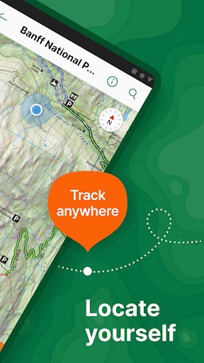
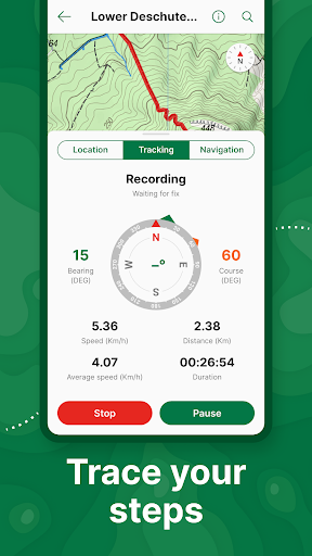
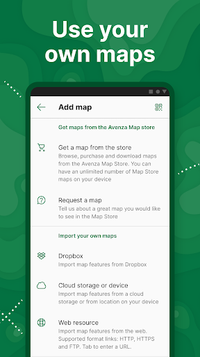
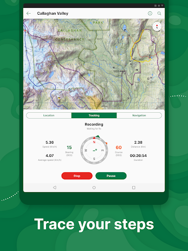
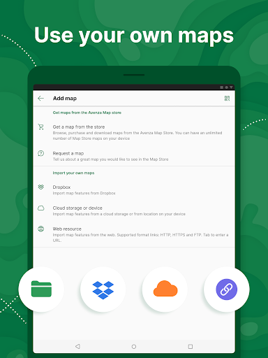
One of the standout features of Avenza Maps is the ability to import custom maps, allowing users to tailor their navigation experience to specific needs. Whether planning a camping trip or conducting field research, this app ensures you remain oriented and informed. The inclusion of GPS tools enhances safety and precision, giving adventurers peace of mind even when off the beaten path.
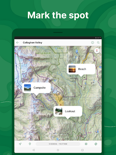
Avenza Maps boasts an array of sophisticated features that cater to both recreational and professional users. The app's offline functionality allows users to download maps for use without an internet connection, which is crucial for activities in areas with limited coverage. Users can accurately pinpoint their location using GPS and navigate with ease thanks to integrated compass tools.
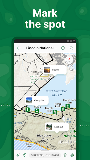
For those who create their own maps, Avenza Maps supports various formats including KML, GPX, and GeoPDF. This versatility enables users to import and utilize personalized maps effortlessly. Additionally, the app offers advanced measurement tools, photo integration, and customizable placemarks, empowering users to document and enrich their explorations effectively.
User-friendly interface
Extensive map library
Offline GPS functionality
Custom map imports
Comprehensive tracking tools
Premium maps at extra cost
Subscription required for Pro features
Limited free map imports
Advanced tools may overwhelm casual users
Occasional syncing issues reported
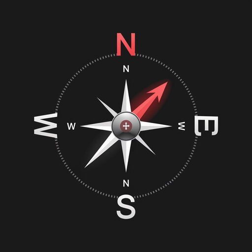
Compass is an accurate compass and a great tool for any outdoor activities
 4.4
4.4
The fastest and most convenient way to pay for parking on our lots.
4.40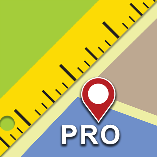
Find shortest way and save energy . Distance and area calculator.
4.70
TACNAV-X: Precision MGRS navigation, built specifically for the military.
4.00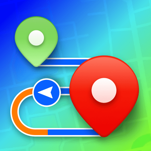
Plan routes, share locations, and set custom alert zones
4.40
"Balad" is a map and navigator with a Persian voice assistant and a complete city guide
4.40
Affordable rides and food delivery with incredible discounts in just one app.
4.50
Explore Earth with live GPS, satellite view & street navigation
3.60
Park in Chicago, NYC, Boston, SF, Houston & more!
4.70
This app is military GPS coordinate systems helper. (MGRS, UTM & DMS Maps)
4.80
America’s largest public fast charging network, with over 500 charging stations.
4.50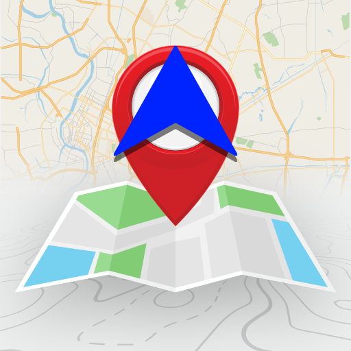
Find radar maps, GPS coordinates, altitude, offline maps, location, travel route
4.40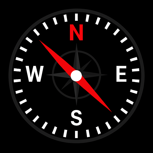
Simple & easy to use a compass app. Get accurate directions.
4.20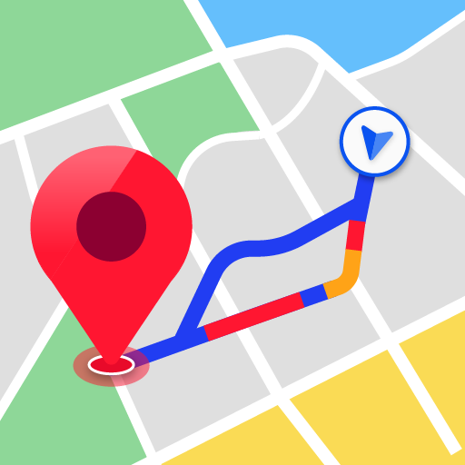
Navigate seamlessly with Real-Time Traffic, Offline Maps, and Voice Navigation.
4.10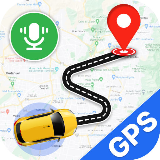
Use GPS Maps and GPS Voice Navigation to find your way and get directions
4.10
Get route map navigation with 3D satellite view, and live earth camera streaming
3.70
Navigate via GPS Maps of GPS Voice Navigation, driving directions to find routes
3.60
Your guide to the recreational opportunities of the Bureau of Land Management!
3.40
Turn your tablet or Android powered unit into a full blow Android Auto headunit.
2.30


User Reveiws