
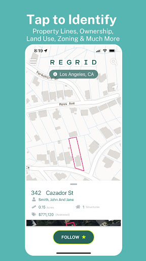


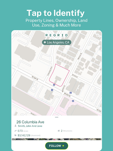


Regrid Property App is a leading map-based property information tool that provides comprehensive land and property data for over 157 million parcels across the US. Designed for both casual users and professionals, this app offers detailed property insights including parcel boundaries, owner information, property values, and zoning data.
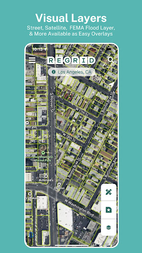
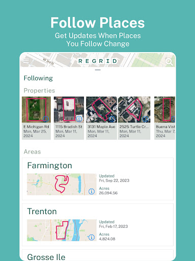
The app stands out with its user-friendly interface that allows easy navigation through street and satellite maps. Users can search properties by address or place, view lot lines, acreage, sale history, and even share property links. With its free access model, Regrid enables unlimited nationwide property boundary searches, making it an ideal solution for real estate research, hunting land identification, and general property exploration.
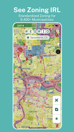
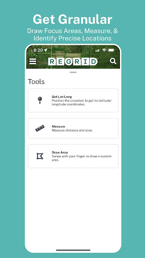
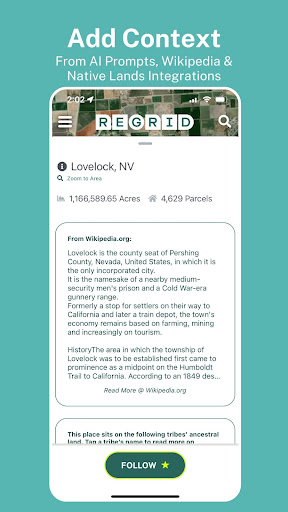
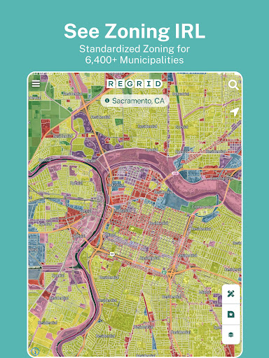
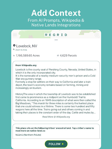
Regrid Property App boasts an array of powerful features designed to enhance property research capabilities. The app's core functionality lies in its extensive public record database that covers 99% of the US population, providing critical details such as APN/Parcel IDs, property values, land use, and standardized zoning information.
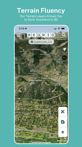
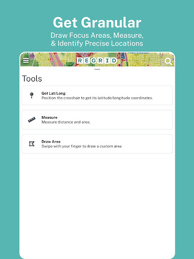
For advanced users, the Pro plan ($10/month) unlocks additional professional-grade tools including automated property tracking, building footprint overlays, elevation contours, and measurement capabilities. The app's integration with Regrid's web platform extends its functionality further, offering desktop-class mapping tools while maintaining seamless synchronization across devices.
Unique features like vacancy indicators, residential classification, and overlay options for owner names make Regrid an indispensable tool for real estate professionals, urban planners, and land researchers who require accurate and up-to-date property intelligence.
User-friendly interface
Comprehensive data coverage
Free basic access
Pro plan value
Cross-platform sync
Advanced features locked
Subscription required
Occasional delays
Limited international
Technical knowledge

Find AI powered cameras, ALPRs, and other surveillance infrastructure near you
 4.70
4.70
Explore a light pollution map to find suitable dark sky locations for observing.
4.30
CamSam PLUS - The speed and red light camera warning system!
4.40
America’s largest public fast charging network, with over 500 charging stations.
4.50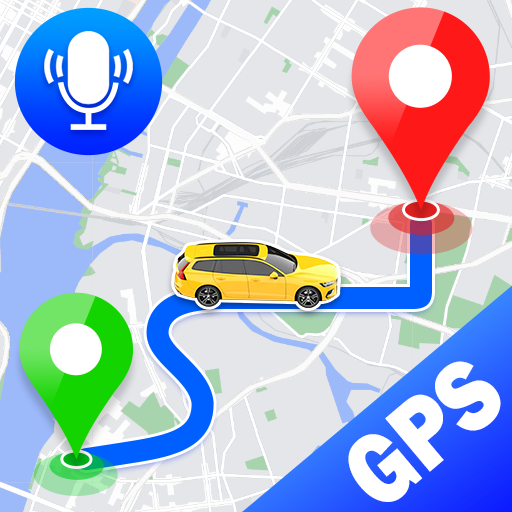
Voice GPS with driving directions, offline maps navigation GPS for safe travel
4.50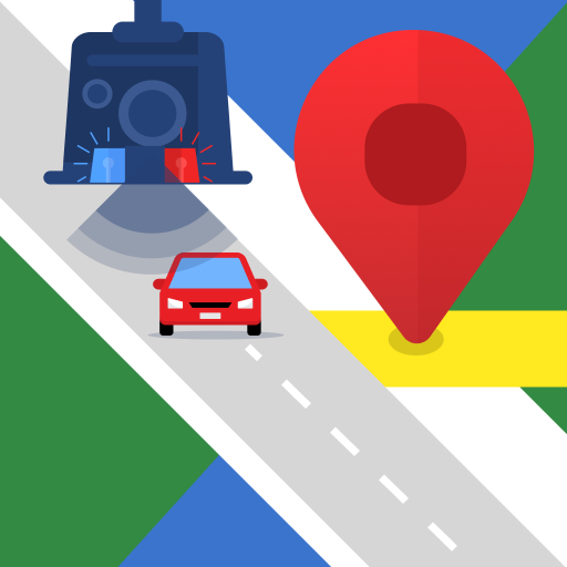
Explore offline maps with radar, satellite view, and real-time alerts.
3.60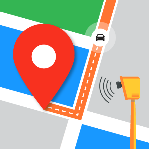
Find radar, speed camera, flight tracker. Use hud, location tracker, speedometer
4.20
Off-Roading Navigation App With Trails, Public Lands, & Private Property Info
3.30
Rideshare, taxi cabs, and more for your airport travels and everyday trips.
4.50
This app is military GPS coordinate systems helper. (MGRS, UTM & DMS Maps)
4.80
Bolt is a ride-hailing app for requesting fast, safe, and affordable transport
4.80
Find EV & Tesla charging stations with PlugShare
4.70
Navigate MTA, NJ Transit, MBTA, SEPTA, BART, MARTA, CTA & 900+ cities
4.60
Find routes fast with GPS Maps, GPS Navigation & driving directions.
4.10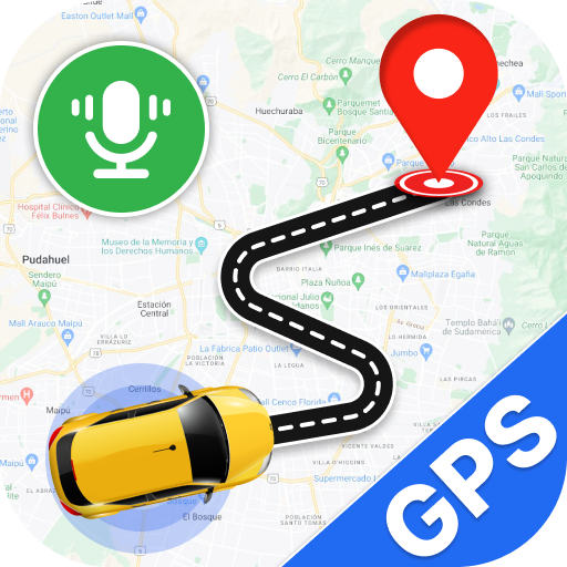
Use GPS Maps and GPS Voice Navigation to find your way and get directions
4.10
Avoid delays. Get real-time GPS navigation, safety alerts and live traffic.
4.10
Drive safe with real-time speed camera radar, police, and traffic alerts
3.80
Explore Live Earth Map with 3D World Map & locate cites, mountains real time.
3.80
Gas Station & Fuel Rewards Points
3.70


User Reveiws