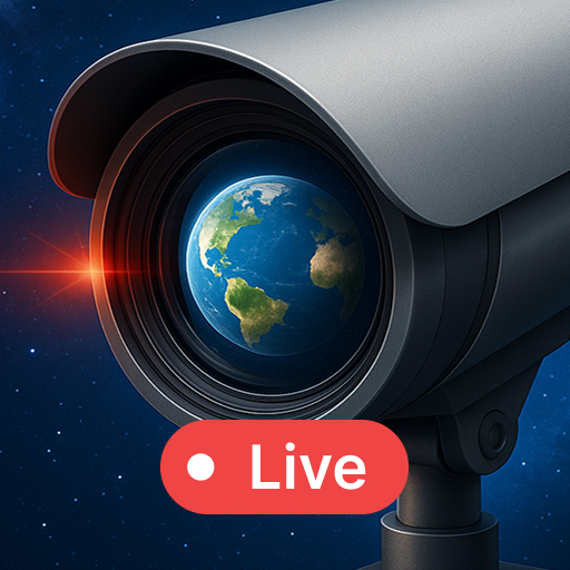
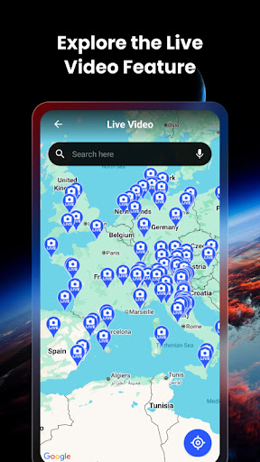


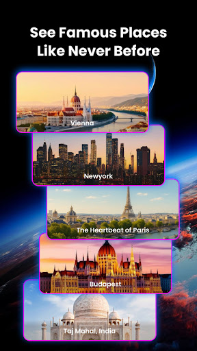
Live Earth Map & GPS Tracker is a comprehensive mapping and navigation app that combines real-time global exploration with personal connection features. The app allows users to access live camera feeds from thousands of locations worldwide, view geotagged images on an interactive map, and explore the planet in stunning 3D detail.
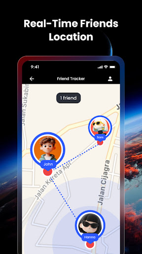
A standout feature is the Real-Time Friend Tracker, which lets users locate friends and family instantly by adding their unique share code. This functionality provides peace of mind for safety checks and helps coordinate meetups more effectively. Whether planning travels or exploring remote terrains, this app serves as an essential tool for both navigation and social connectivity.
The app's key strength lies in its diverse feature set that caters to various user needs. Its Live Global Camera Access provides real-time views from thousands of locations worldwide, while the GPS Geotagged Camera allows users to capture images with precise location data. The Map-Integrated Gallery enables browsing these geotagged images directly on the world map.
For navigation purposes, the app offers accurate GPS tracking and street-level 3D views, making it suitable for both urban exploration and remote terrain navigation. The recent addition of the Friend Tracker feature enhances its utility by allowing users to monitor the real-time location of approved contacts, creating a powerful combination of mapping and social connectivity tools.
User-friendly interface
Real-time friend tracking
Accurate GPS navigation
Interactive 3D maps
Global camera access
Requires constant internet
Drains battery quickly
Limited offline features
Privacy concerns
Premium features locked
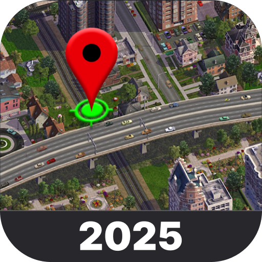
Explore the world with Live Satellite View, 3D Maps, GPS Navigation & Earth Map.
 2.90
2.90
Navigate with your watch and keep the phone in your pocket!
4.60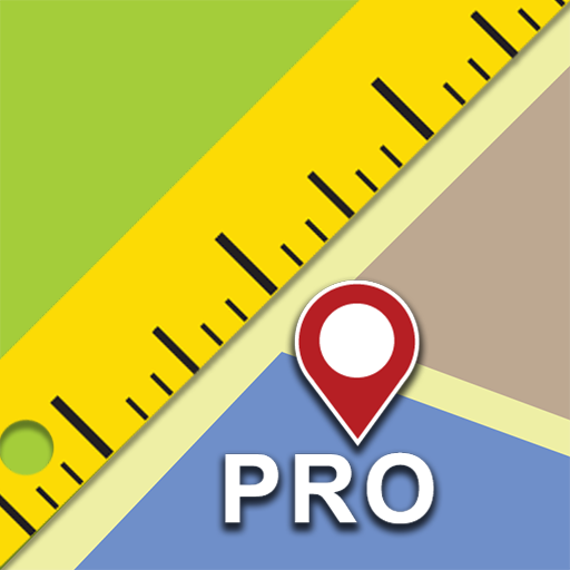
Find shortest way and save energy . Distance and area calculator.
4.70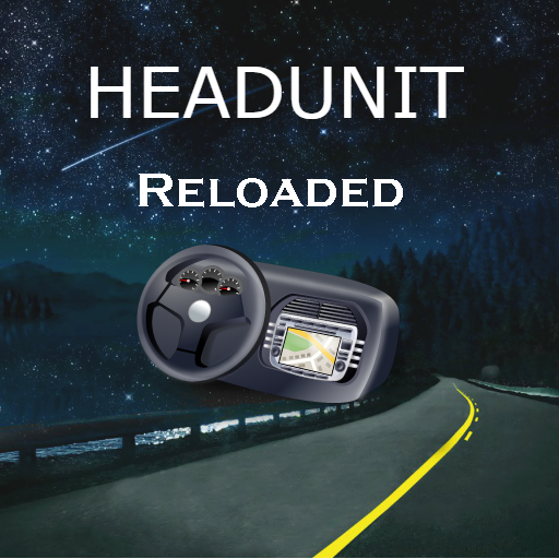
Turn your tablet or Android powered unit into a full blow Android Auto headunit.
2.30
Instant diesel discounts - save big with each fill up!
4.40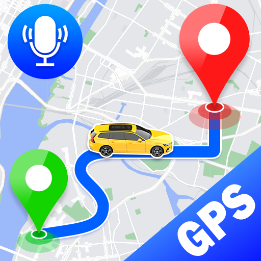
Voice GPS with driving directions, offline maps navigation GPS for safe travel
4.50
Use GPS maps or search by property owner, address or parcel to view parcel data
4.30
Drive safe with real-time speed camera radar, police, and traffic alerts
3.80
Navigate MTA, NJ Transit, MBTA, SEPTA, BART, MARTA, CTA & 900+ cities
4.60
Get there with the Waymo Driver — The World’s Most Experienced Driver™
4.90
Rideshare, taxi cabs, and more for your airport travels and everyday trips.
4.50
Route tracker, Speedometer, Odometer, Fuel, HUD mode, save route as .GPX
4.40
ParkWhiz, an Arrive Mobility brand, part of the Arrive Network
4.30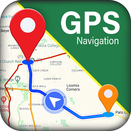
GPS navigation offers route finder, compass, translator, currency converter, etc
4.30
Avoid delays. Get real-time GPS navigation, safety alerts and live traffic.
4.10
Easy, Moderate and difficult offroad adventures.
4.00
Your guide to the recreational opportunities of the Bureau of Land Management!
3.40
Ride CTA, Metra & Pace: Manage your fares, buy Metra tickets, get arrivals.
3.00
All of NHSA's trail information at your fingertips for the 2025-2026 season
4.3

User Reveiws